Heavy Deluges and Gale Risks: Perth Braces for Subtropical Low This Saturday
Wet and Windy: Subtropical Low to Bring Heavy Deluge to Perth
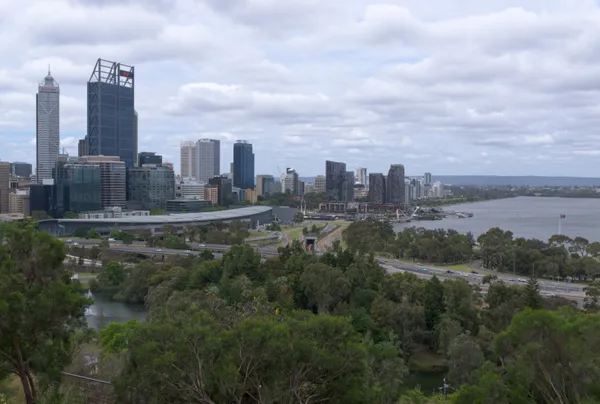
Residents across the Perth metropolitan area should prepare for a significant weather event today, Saturday, March 28, 2026. As a vigorous subtropical low-pressure system—formerly a tropical system—moves rapidly southeast across the coast, the city is expected to face a day characterized by heavy rainfall and hazardous wind conditions. After a damp start to the weekend, the most intense weather activity is forecasted to peak during the morning hours, making indoor plans the safest choice for locals.
Morning Forecast: Peak Intensity and Thunderstorm Risk
The morning of Saturday, March 28, is predicted to be the most volatile period for the region. Forecasts indicate a very high chance of rain, with precipitation totals estimated between 25mm and 60mm throughout the day. There is a significant risk of thunderstorms in the early morning as the system passes, which could lead to localized flash flooding in low-lying areas. Temperatures are expected to reach a minimum of 18°C with humidity levels surging to around 80%.
Wind conditions will be particularly challenging during the first half of the day. Anticipate east to southeasterly winds ranging from 35 to 55 km/h. These winds are expected to be gusty, potentially causing minor damage to trees or outdoor structures. Commuters and early risers are urged to take extra care on the roads, as heavy downpours will likely reduce visibility and create hazardous driving conditions.
Afternoon and Evening Outlook: Shifting Winds
As the low-pressure system continues its trajectory inland, the wind direction is expected to shift by the early afternoon. The initial southeasterly gusts will tend northwest to southwesterly, easing to a range of 15 to 25 km/h. While the intensity of the rainfall may decrease slightly after midday, overcast and "washout" conditions are likely to persist, with the daytime maximum temperature reaching only 23°C.
Moving into the evening, the likelihood of rain remains at about 35%, primarily consisting of lingering showers. Conditions are expected to become more stable overnight as the system begins to move offshore, though damp conditions will remain until early Sunday morning.
Official Marine and Wind Warnings
Authorities have issued several alerts for Saturday, March 28, 2026, to ensure public safety, particularly for those in coastal areas:
- Strong Wind Warning: Currently active for Perth Local Waters, Melville Waters, and the Perth Coast.
- Gale Warning: In effect for the Lancelin Coast and Geraldton Coast, areas just north of the metropolitan region.
- Marine Safety: Boaters and coastal residents are advised to avoid unnecessary water activities, as sea conditions will remain hazardous due to high swell and strong gusts.

Elvis Tributes and French Cinema: Perth’s Best Cultural Events Today

Aussie Rock and Airport Ambitions: Your Friday Morning Briefing

Morning Commute: Smooth Runs on Major Rail Lines Despite Local Bus and South Perth Disruptions